Projects
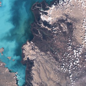
Sentinel bot
Tweets a random image from the Sentinel2 satellite archives once an hour, first posting in 2014. Made using a simple python script and tweepy. Tweet lat,lon coordinates at it to get the most recent cloudfree image around that point!
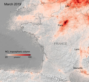
OpenAQ-S5
OpenAQ provide APIs for querying open air quality data. Sentinel 5P provides the capability of producing readings of atmospheric pollutants from space. OpenAQ-S5 maps these data onto oe another, in search of correlations with the idea of being helpful for future model building. It uses AWS lambda and calls the MEEO STAC catalog to produce the mappings through an API.
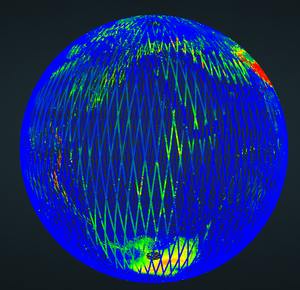
Photogrammetric models
A sample of a 3D model created as part of my PhD in photogrammetry. Creation of LiDAR models (such as the GLAS globe pictured) are detailed on my blog.
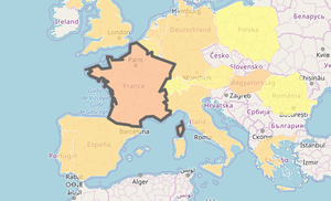
Refugee mapper
Complete a form with a country and date range to see the number of asylum applications from that country to European countries within that time. Data from Eurostat, made in 2013 to assist fact checking.
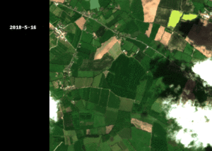
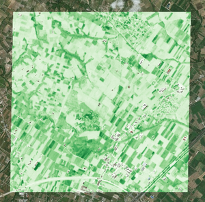
Satellite giffer
Generate colour gifs of Sentinel imagery using a leaflet map. I particularly like rasterio's ability to read geotagged images directly from storage buckets, in this case s3. Credit to Vincent Sargo for the Remote Pixel NDVI time series providing motivation!